You
LOAD
Sector
IT
Mixed reality 3D AR/VR
Earth observation
Challenge
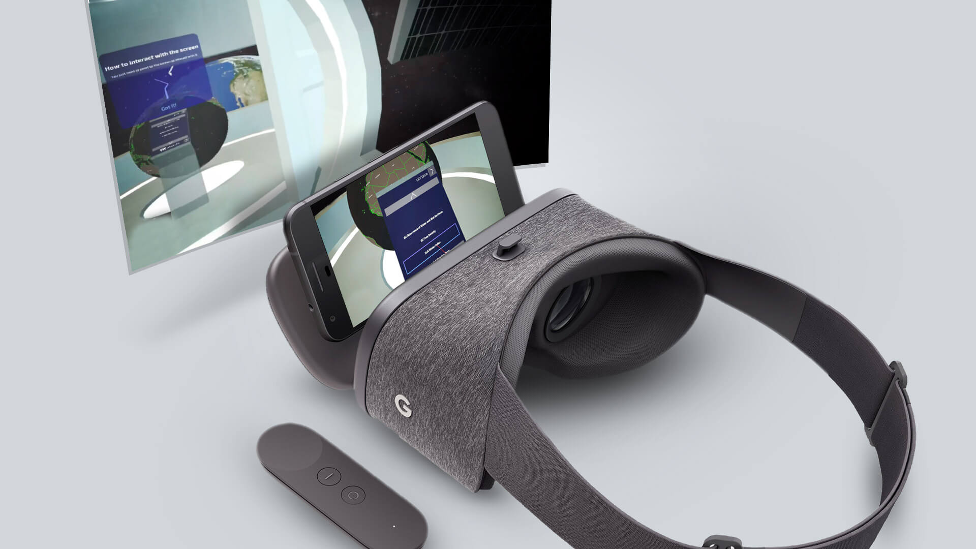
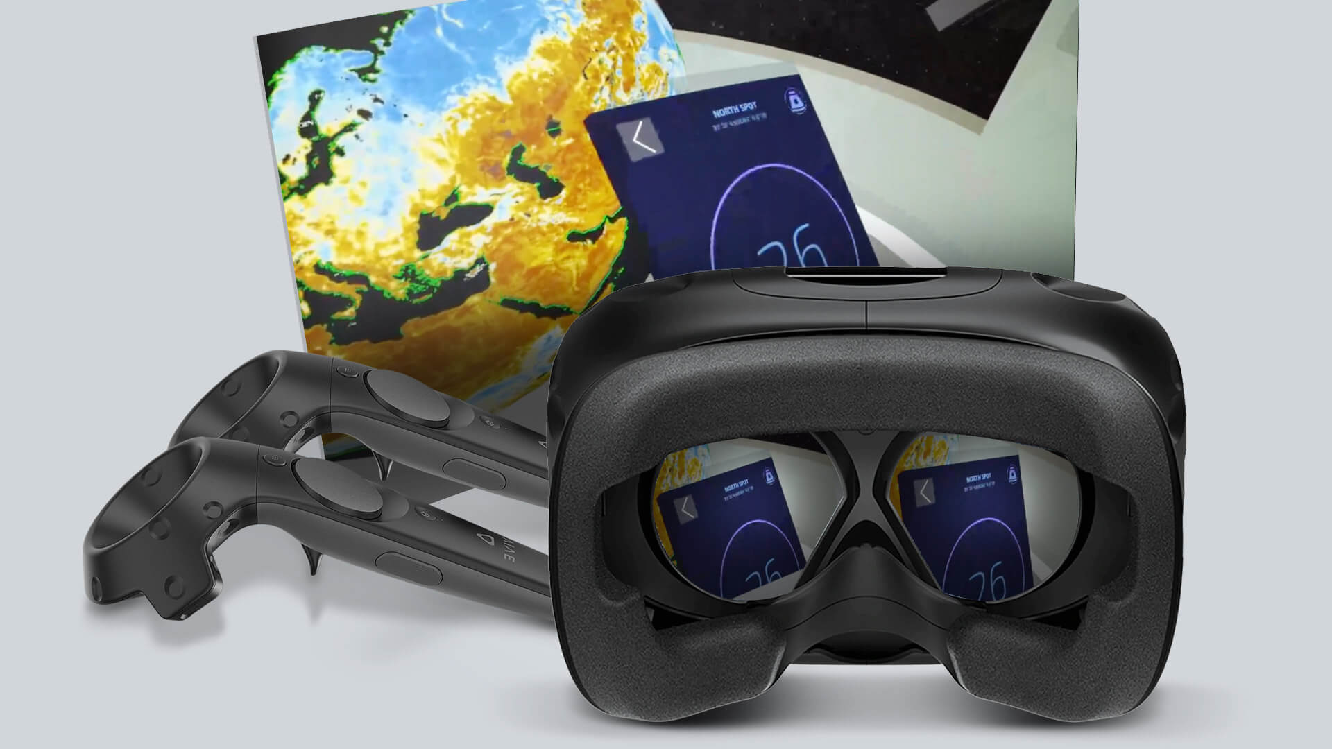
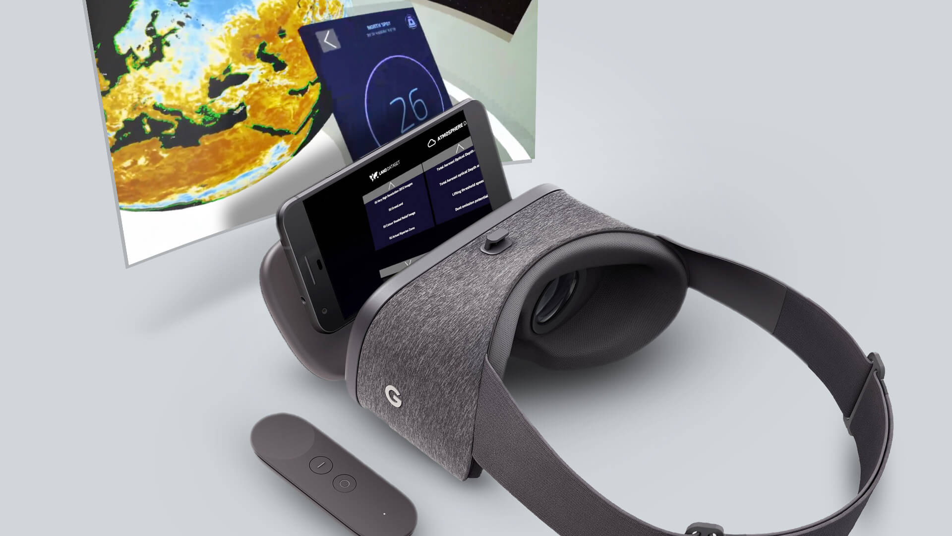
LOAD led this project under the Research and Development division. The participation in the Earth Observation RoadShow sponsored by the European Space Agency (ESA) was an invitation to us. The overall goal of the project was to use virtual reality technology to explore the European Space Agency’s comprehensive compendium of publicly available Earth observation data.
Our approach
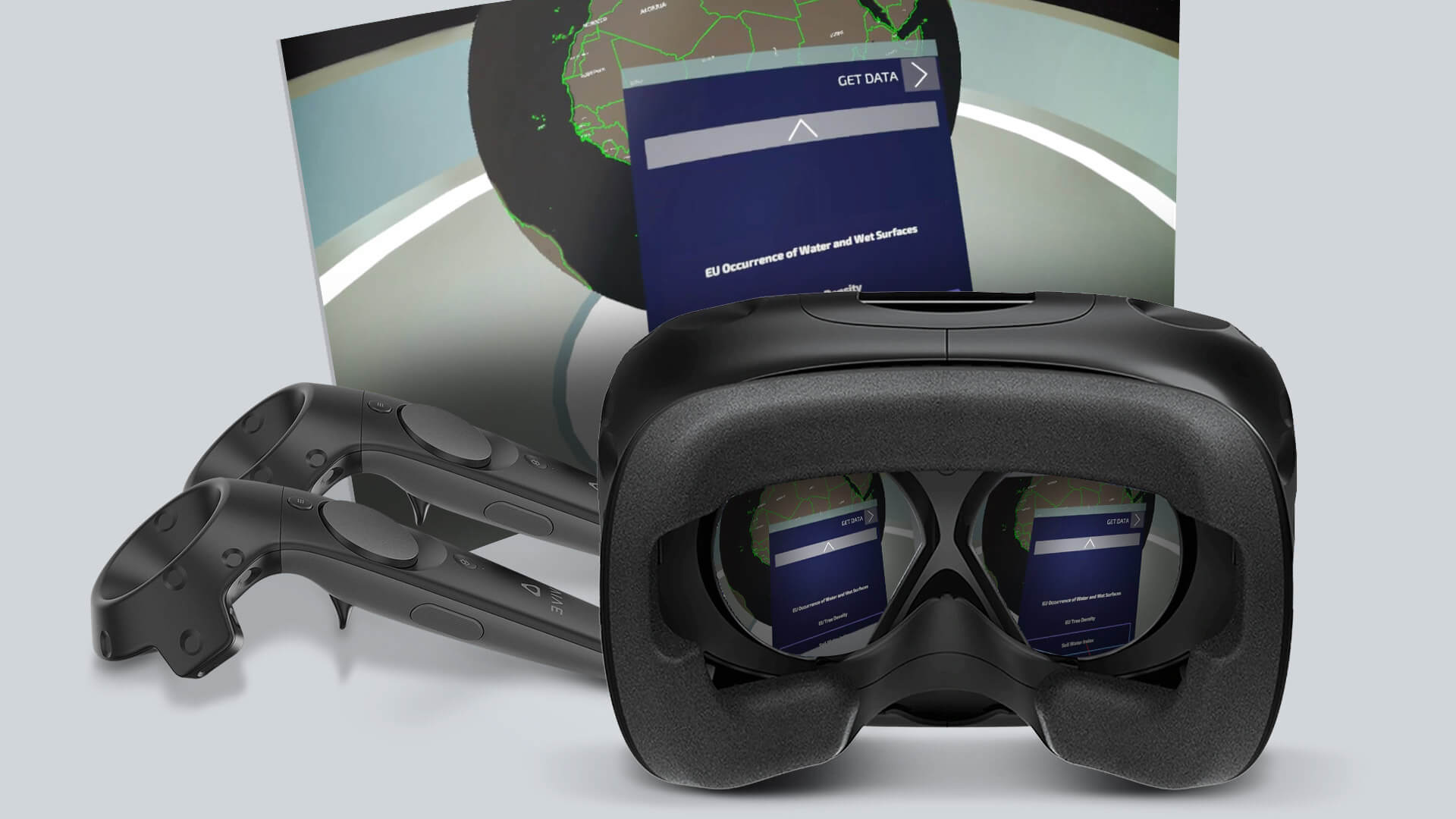
This was achieved by using data from the European Space Agency’s (ESA) Copernicus program. The raw datasets are sourced and stored in a Big Data stack system that provides GeoServer with important and useful data. In addition, the VR application is further enhanced by the integration of speech recognition technology into the artificial intelligence module, which facilitates user interaction by executing commands based on user utterances.
Skills &
Technologies
Results
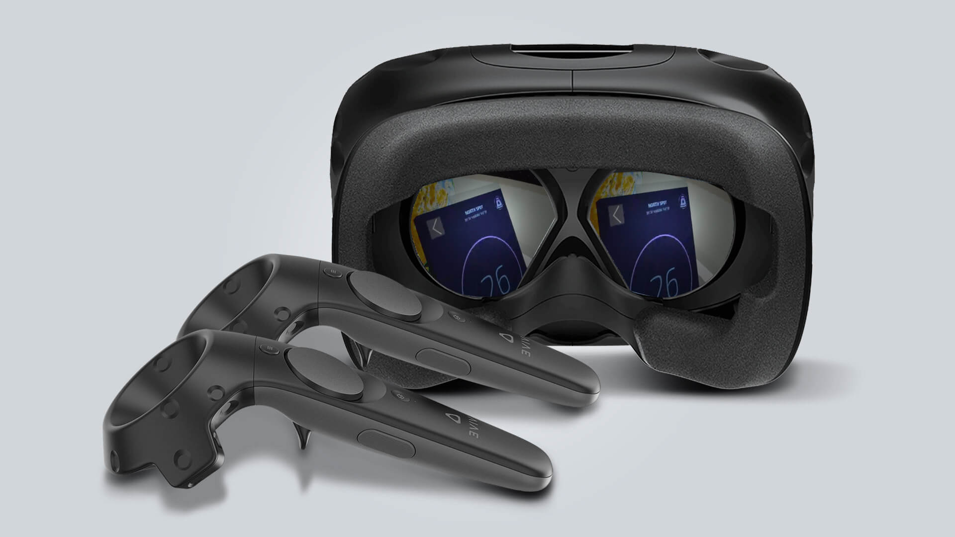
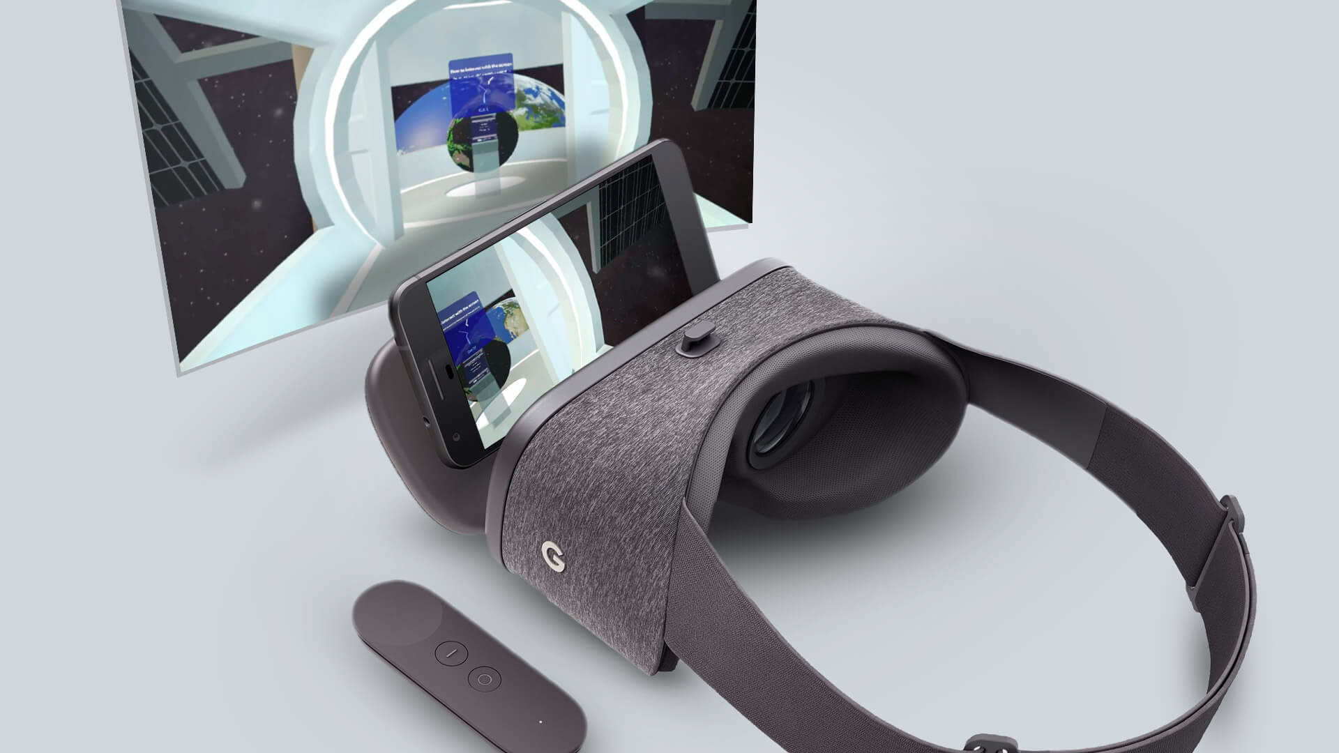
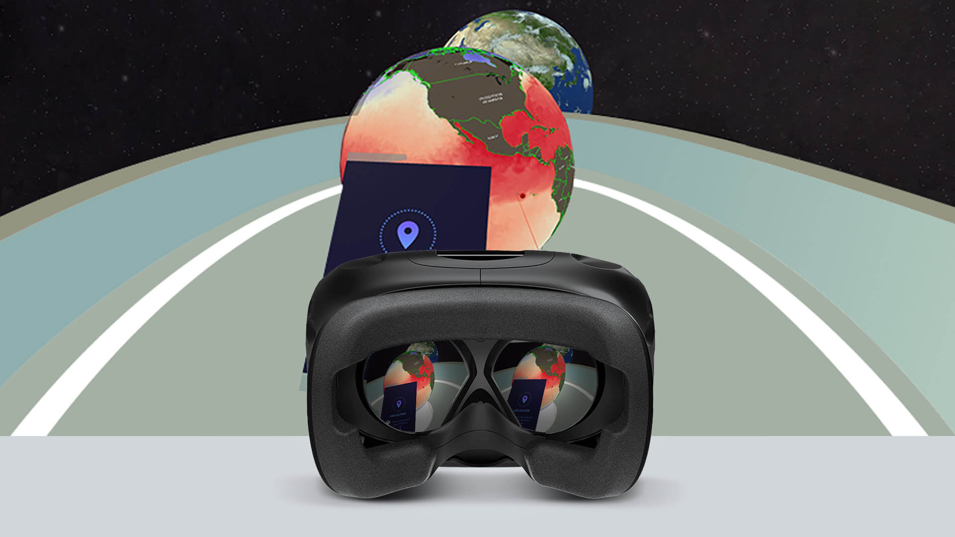
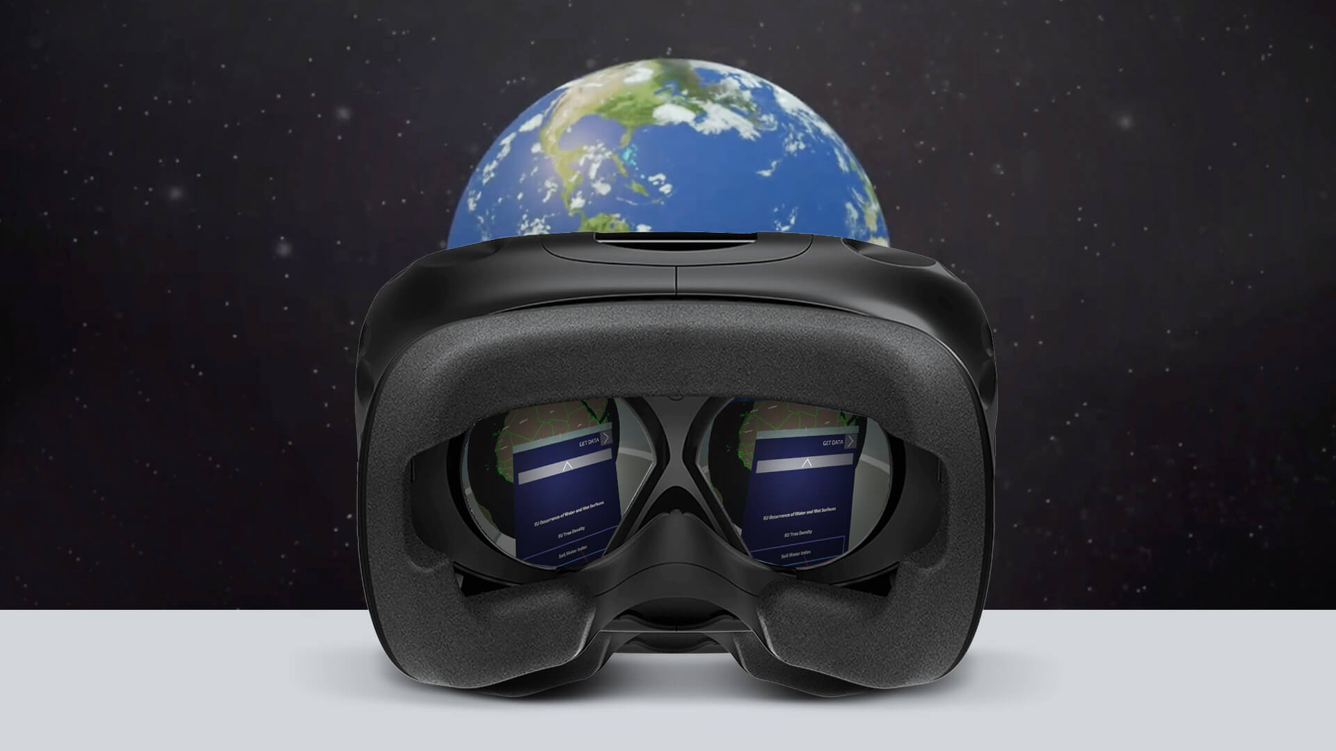
The culmination of the project manifests itself in a captivating and immersive method of interacting with Earth data via virtual reality. The user can traverse the globe, equipped with the representation of different types of data, classified into land, sea and climate data, provided by the European Space Agency (ESA). Furthermore, the user has the ability to teleport to specific locations, such as the central space station, which serves as a hub for the user’s interaction with maps and data.
An interesting aspect of this project is the display of natural conditions on Earth, such as reforestation, water salinity, and air pollution levels. Certain indicators are displayed in near-real-time or with a slight delay of a few days.


